
Cold. Cold. Cold. Cold.
Done with winter.
Icicles are gone, but there are still random piles of dirty, crusty ice in sporadic locations all around town. These are the dead remnants of another miserable winter.
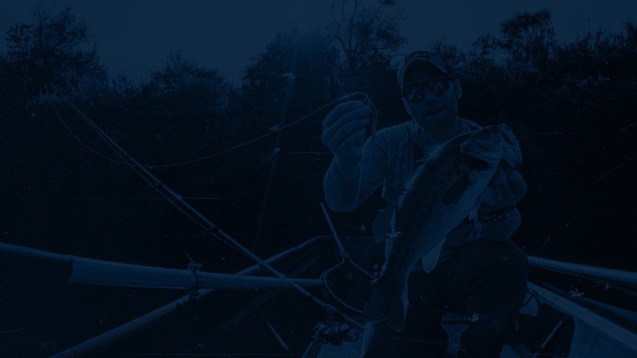
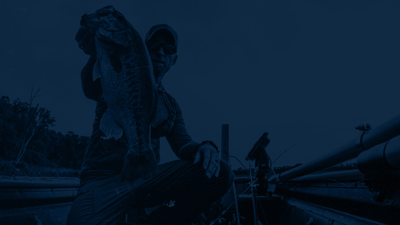
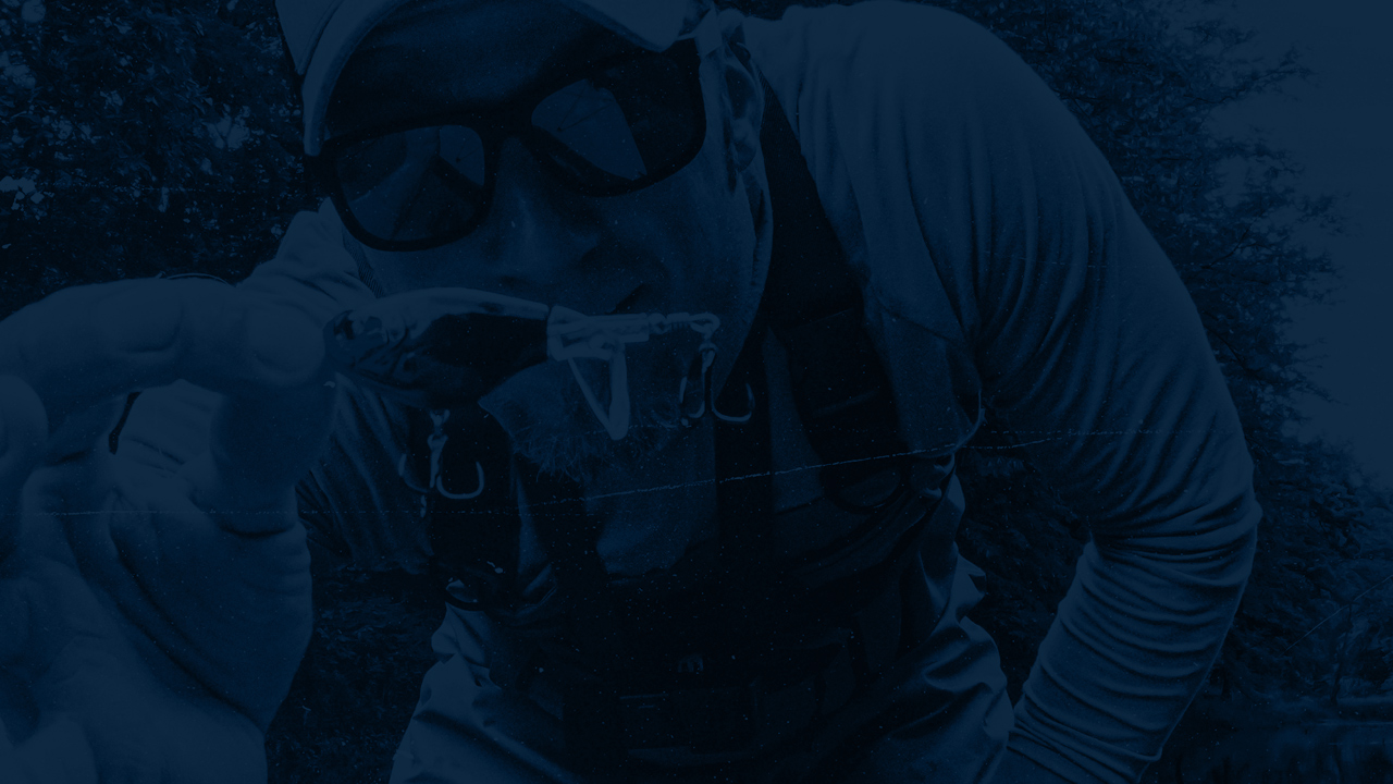
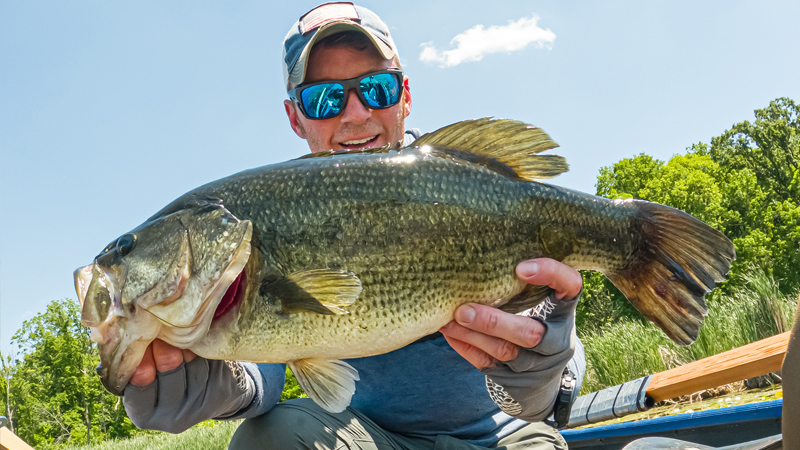
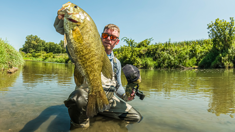
But the combination of these signs and the first few solid days with sun poking through the dark canopy of thick cloud cover gets my heart racing. I immediately start thinking about setting the hook, feeling my line tighten up and seeing it rip off to the side while my drag screams bloody murder.
SCREEEEEEEEEEEEEEE!!!!!
Oh, how sweet it is.
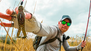
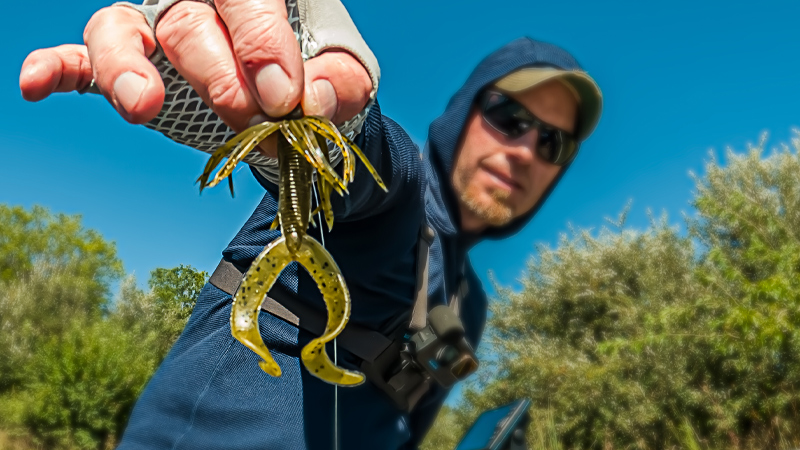
Once the daydreams kick in… so does reconnaissance. Me and the boys start going to “play at the lake”… which really means Dad is going to check the water temperature and look for signs of life… like baitfish:

Once the water hits about 50°F, bass become more active. Question is, how are we shore anglers supposed to check in on the water temperature without the aid of fancy bass-boat electronics?
Well, there are 3 options as far as I can tell:
- Stick your head in the water and guess (GOOD? Yes. Worked just fine for your grandpa, sissy.)
- Get a small water thermometer to toss in… and wait… and wait… (BETTER)
- Get something like the Deeper Pro+ Sonar and get the temperature as well as much more useful information about the body of water you plan to fish! (BEST)

The feature that initially got my attention with this unit was map creation. It allows you to make your own topographical maps. Literally cast out from shore, slowly reel the Deeper unit back – and as long as it stays connected to your phone (which can be a bit of a challenge at times) it will track bottom contours, depth, temperature and draw out a map that will automatically upload to Deeper Lakebook™ the next time you are connected to WiFi.
This is a great way to be more efficient. Instead of going to check the temperature alone – grab this unit and check temperature, depth, look to see if you can mark fish, and draw a topo map – all at the same time.
I also took this unit out on the jon boat this year and just let it run in the background, recording the bottom. After returning home, everything I charted was uploaded to Deeper Lakebook™, and I could go back and review bottom contours and deeper areas that I missed from the comfort of my desktop PC.
This helped me focus on fishing while I was on the water, but still go back to find the deepest area of the small city lake (about 25 acres) after the fact. This is critical for those of us with limited fishing time.

Guess where I’ll be starting this spring?
Moving Forward
The daydreams continue.
They become even more vivid when it’s warm enough to open windows around the house. The smell of the breeze pulls me out of whatever website I am designing, and I’m transported to the lake.
Fortunately, with these recordings I am able to pull up my maps from last year and start to strategize where I’ll go first. This is so helpful for those of us that fish alone, and those of us that fish small lakes and ponds with no topographical maps to be found.
Last season was the best I’ve ever had, and the fishing continued up until the snow started to fall. I’m ready to start back up again.
Are you with me?


Tight lines.


What do you think?